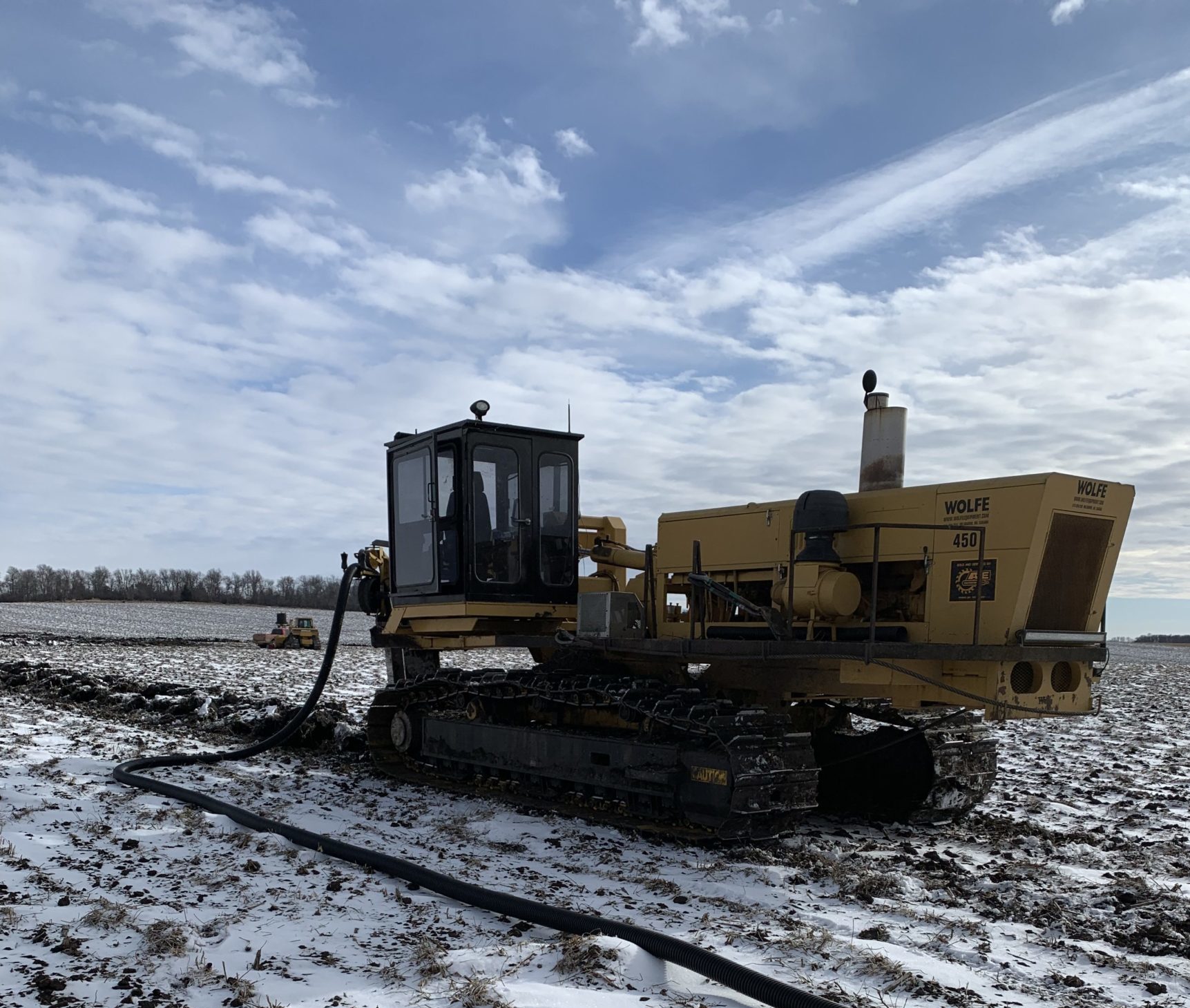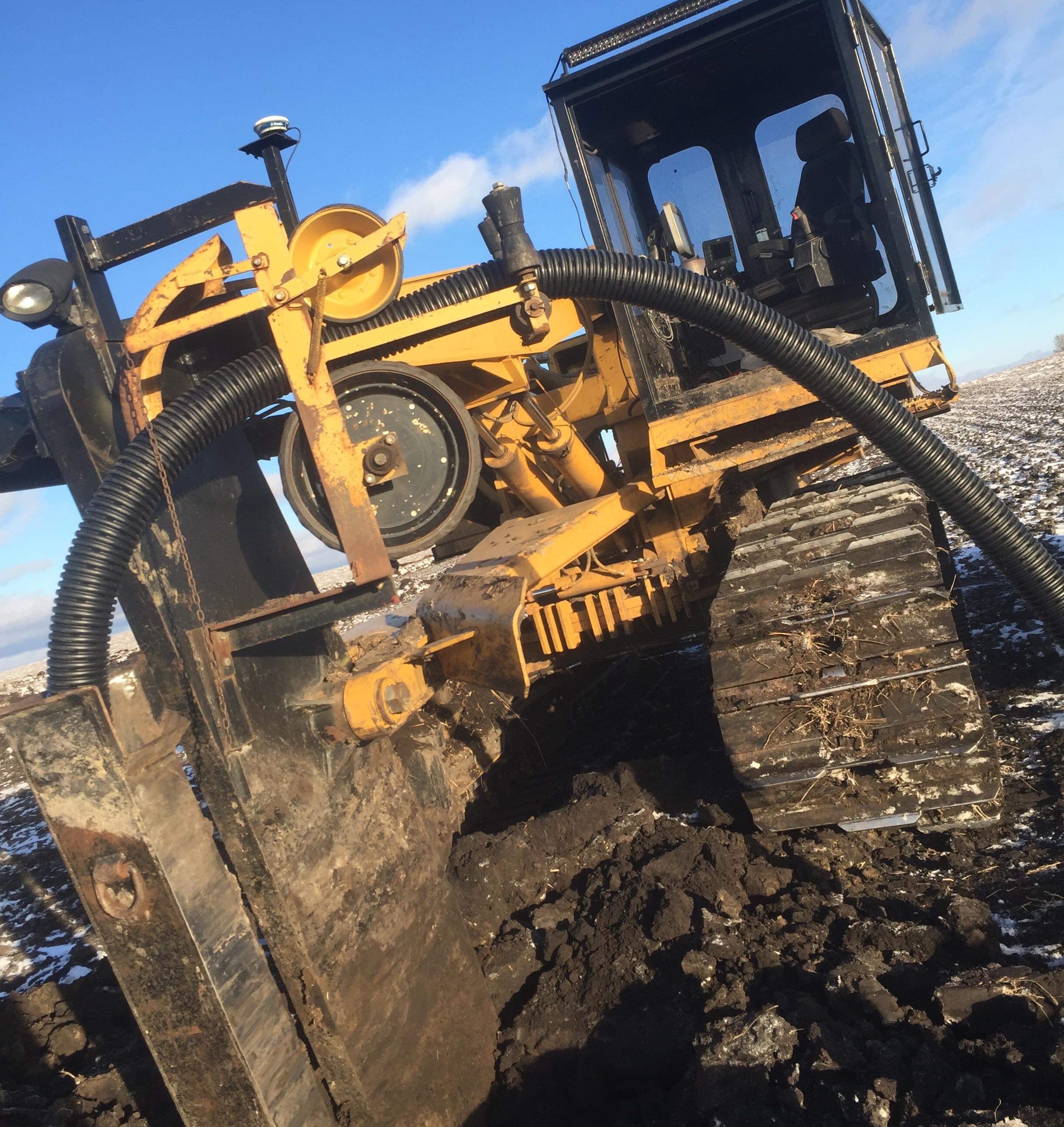
Drain Tile Design
With the use of lidar data, we can determine the elevation of the topography. If more elevation points are needed, we can survey the field with RTK to verify the points of elevation. In order to stay within compliance of the NRCS Farm Program permits are required.
METHOD
With the use of RTK to verify points of elevation, Popham Agronomics is able to strategically produce a design estimate using GK Technology.